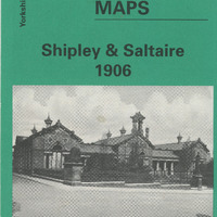
2024.143: Old Ordnance Survey Map Shipley & Saltaire 1906
Item
- Identifier
- 2024.143
- Title
- Old Ordnance Survey Map Shipley & Saltaire 1906
- Type
- Format
- Date Created
- 1997
- Publisher
- Alan Godfrey Maps
- Place created
- Description
- A reproduction of the 1906 Ordnance Survey Map, part of the Godfrey Edition. Yorkshire Sheet 201.11. On the back of the map there is modern text of a brief history of Shipley from 1775 up to the first years of the twentieth century. There is also a reproduction of a street index of Shipley from 1906.
- Subject
- Associated place or event
- Source
- Gift: Shuttleworth, Louise
- Rights
- Only viewable in the Saltaire Collection
- Rights Holder
- Text copyright Alan Godfrey Maps. Map is out of copyright.
- Has Format
- image
- Item sets
Export
Catalogue data (excluding media) available under Creative Commons Attribution-ShareAlike (CC BY-SA 4.0) licence.
