Items
Subject is exactly
Maps and guides
-
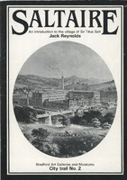 2018.66: Saltaire: An introduction to the village of Sir Titus Salt A booklet introducing Titus Salt and explaining the origins and features of Saltaire village.
 -
 2018.74: Saltaire: History & Regeneration A tourist's guide to Saltaire, featuring a brief history of Titus Salt but mainly contains descriptions of prominent areas and buildings in Saltaire, and a map. This copy is signed by the author Clive Woods to 'Albert' (probably fellow local historian Albert Bowtell).
 -
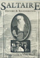 2018.77.1: Saltaire: History & Regeneration A tourist's guide to Saltaire, featuring a brief history of Titus Salt but mainly contains descriptions of prominent areas and buildings in Saltaire, and a map. This copy is signed by the author Clive Woods to 'Denys' (Salt). See also 2018.77.2 which is a handwritten letter from Clive to Denys concerning the book.
 -
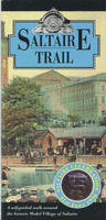 2018.80: Saltaire Trail Subtitled: A self-guided walk around the historic Model Village of Saltaire. A detailed walk around Saltaire visting its notable public buildings. Each building has a historical description and most are illustrted with an old photograph or drawing. Also contains adverts from local businesses.
 -
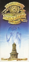 2018.81: The tourist guide: Saltaire & the region A folded, coloured leaflet providing a brief tourist's guide to Saltaire. Includes: a very brief history; a suggested on-day itenary for exploring Saltaire; a list of events through the year; various listings for suggested accommodation, attractions, shopping, places to eat, services and tracel and communication details.
 -
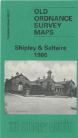 2024.143: Old Ordnance Survey Map Shipley & Saltaire 1906 A reproduction of the 1906 Ordnance Survey Map, part of the Godfrey Edition. Yorkshire Sheet 201.11. On the back of the map there is modern text of a brief history of Shipley from 1775 up to the first years of the twentieth century. There is also a reproduction of a street index of Shipley from 1906.
 -
 2024.16: Kelly's Directory of Bradford and Suburbs 1903 A geographical, residential and business directory of Bradford and its suburbs from 1903. Contents are listed as: 1. Bradford topographical 2. Townships added to the city, topographical 3. Suburbs, topographical 4. List of streets 5. Street directory 6. Private residences directory 7. Alphabetical directory 8. Trades and professional directory 9. Official directory The suburbs information includes Shipley (including Shipley), with a description of the Urban District Council, public establishments and schools.
 -
 2024.42: The Bradford Book Paperback book with full title 'The Bradford Book: The first-ever handbook/survival guide to the Bradford area' edited by Roger Ratcliffe. Handbook for local residents and visotrs to the geography and history of Bradford as it was in the early 1990s.Mentions Sir Titus Salt
 -
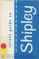 2025.38: Street guide to Shipley Street guide to Shipley issued with the authority of the Shipley Urban District Council
 -
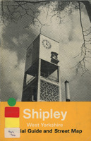 2025.40: Shipley, West Yorkshire. Official guide and street map Official guide and street map for Shipley. Contains photographs and history of Shipley with coloured map at the back
 -
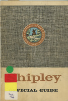 2025.44: Shipley official guide Shipley official guide issued by Shipley Urban District Council. Contains photographs and history of Shipley but no map
Catalogue data (excluding media) available under Creative Commons Attribution-ShareAlike (CC BY-SA 4.0) licence.